Backpacking the Bold Coast
It all began one afternoon at work. A co-worker mentioned that some of his friends had checked out a cool spot called the Cutler Coast over the weekend. I had never heard of the place so he pulled up some images of the area on the computer. As the photos loaded, I became more and more intrigued! The screen revealed numerous images of impressive coastline littered with cliffs and stone. One shot in particular grabbed my attention. It was a quaint little cove, deep and private, with a stone beach gently embraced by the sea- I am a total sucker for unique campsites. The perfect arrangement of surroundings, location, and views excites me to my core. He mentioned that we could possibly camp in that cove, and I was hooked. I had to see it for myself.
The Fourth of July was arriving and as usual we had planned to take advantage of the long weekend by going on some sort of extended excursion. We debated a few options; a visit to Marshall Island in Jericho Bay, a multi-stop camping trip along Flagstaff Lake, an extended peak bagging trip in the Whites, or a backpacking trip to Cutler Coast.
I have to admit, after doing some research, Cutler Coast was not at the top of my list. On paper, Cutler seems a little bland. The public lands only offer 10 miles of trails across 4.5 miles of coastal headlands. I was concerned that our drive, 4 hours from Portland, would take longer than exploring the whole preserve. On top of that, there was no guarantee that we would even have a chance to camp. Cutler is strictly first come, first serve and there are only three listed backcountry sites. All these worries and unknowns aside, we decided to go for it. We loaded up the car and headed out Friday evening after work.
The Cutler Coast is nestled near the easternmost point of Maine near the Canadian border on the Bay of Fundy. This area is known as the Bold Coast for its dramatic coastline, sheer cliffs, and rugged shores. Cutler Coast, more specifically, is a public preserve of 12,234 acres located off ME-191 between the town of Cutler and Lubec. Of these 12,234 acres only about one quarter is utilized for foot travel. The rest of the lands are managed for all-terrain vehicle use.
Our intention was to sleep at the trailhead parking lot Friday evening to get an early start Saturday morning. We hoped this would give us the best shot at a campsite for the busy weekend. We were a bit discouraged when we saw a couple of cars already parked in the lot upon our evening arrival. We remained optimistic as we drifted off to sleep
The next morning we arose to a passing storm. The logbook, which conveniently informs you of other hikers intentions, was completely swamped and indecipherable. “Guess we will just have to take a chance,” said Moose as we replaced the soggy logbook. What all visitors need to understand is that the campsites lie nearly 5 miles down the trail at Fairy Head. It is possible to hike all your belongings in for an overnight and end up with no place to stay. This is not necessarily bad, because obstacles and uncertainties such as these help manage crowds and limit the amount of visitors that will share the area at one time. Bug spray was applied as we moved into the woods with our fingers crossed.
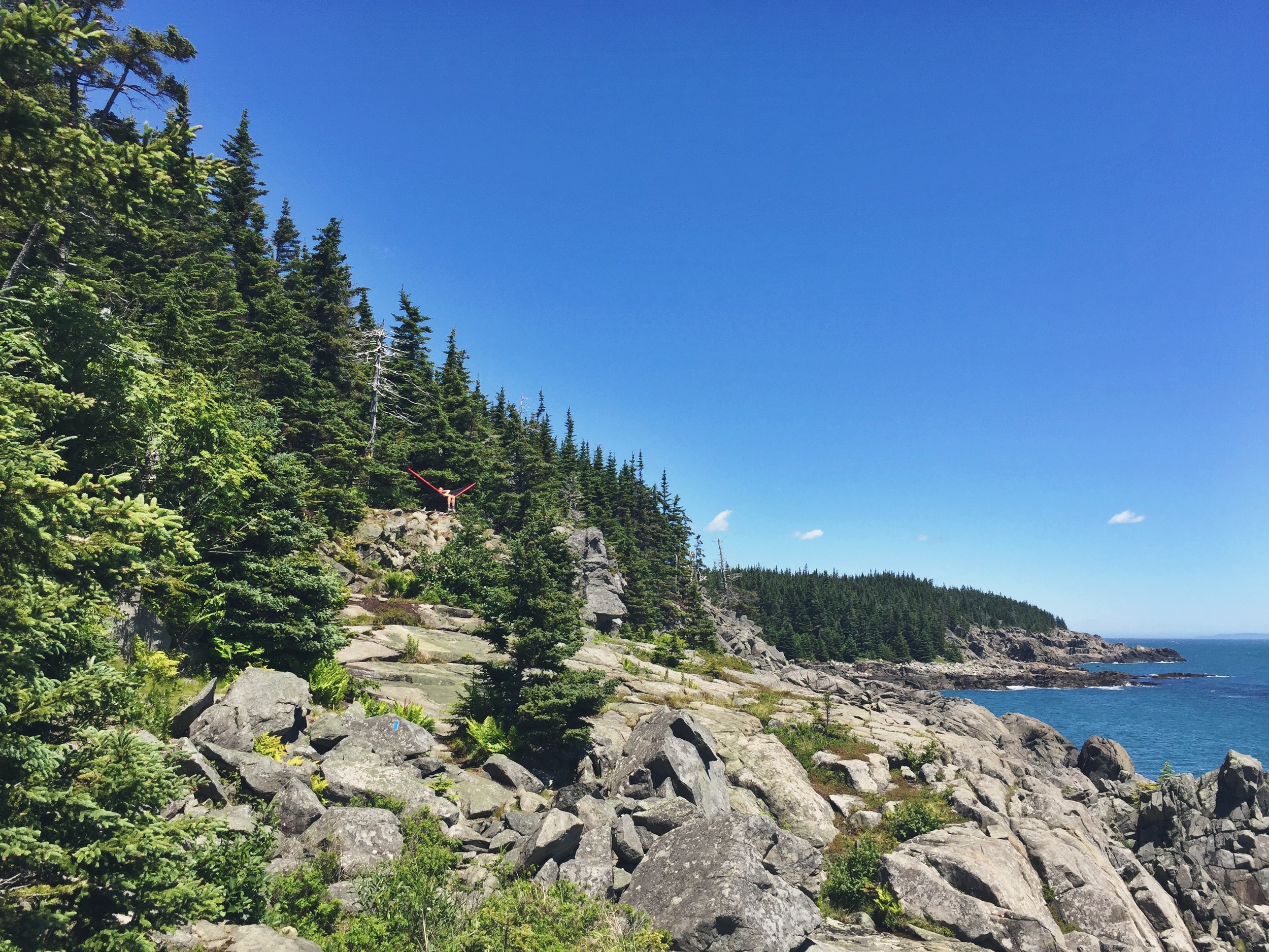
The trail immediately directs you toward the coast. The fog and clouds still hung low from the past evening’s storm, dampening us with vapor, but the ocean’s song beckoned us onward. The crashing waves slowly gained decibels as we met the ocean head on. After investing in just a mile, the trail spills out onto a rocky outcropping where you can witness what makes this area so fantastic. From here on, the trail intimately follows the Bold Coast southwest towards Fairy Head. Exploration along this stretch is seemingly endless. An entire day could be spent on this 4-mile stretch. Nooks, coves, cliffs, and some of the most magnificent ocean views await any visitor. We took our time, investigating all optional side trails.
The trail conditions could be translated in many ways- certainly rugged in the classic Maine backcountry sense, often winding and gradual, the path can be strenuous at times. It lacks the constant ups and downs found throughout much of the New England landscape, thus making it accessible to visitors of most capability. It should be noted that parts of the trail remain fairly wild. While moving through the frequent scrublands, travelers are forced to blaze a vague trail through heavy growth - be sure to check for ticks! Much of the trail traverses large open expanses of shoreline rock; so sturdy shoes are a must.
The biggest misrepresentation we found while making our way to Fairy Head was the number of available campsites. There are at least five established camping areas with the first two residing much closer than the cluster found on Fairy Head. Some are better than others, but all provide stunning scenery and views. Note: the further southwest you go, the louder the signal horn on Little River Island Light House is. This navigational aid rings every 10 seconds and can be heard from the western reaches of Cutler Coast. If you are a light sleeper, pack ear plugs.
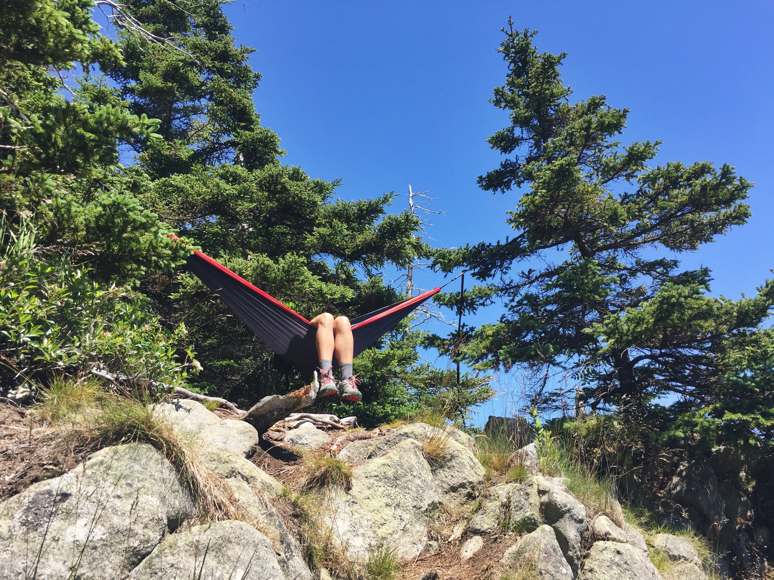
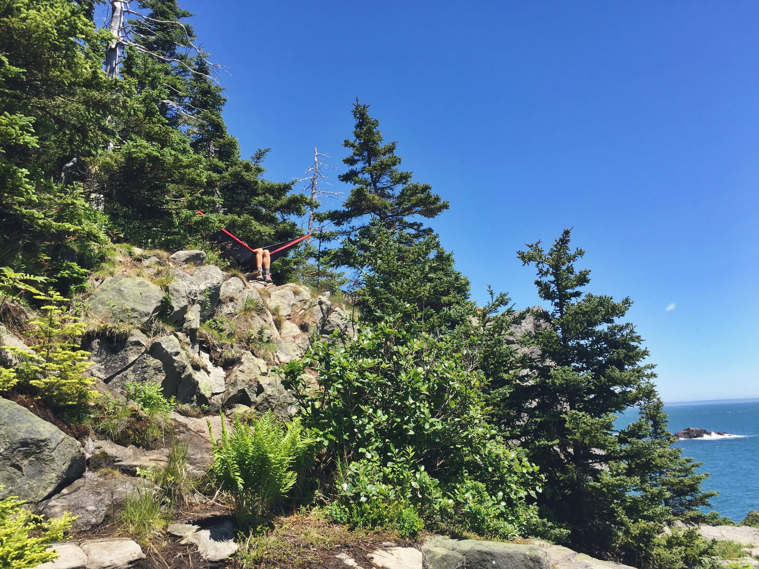
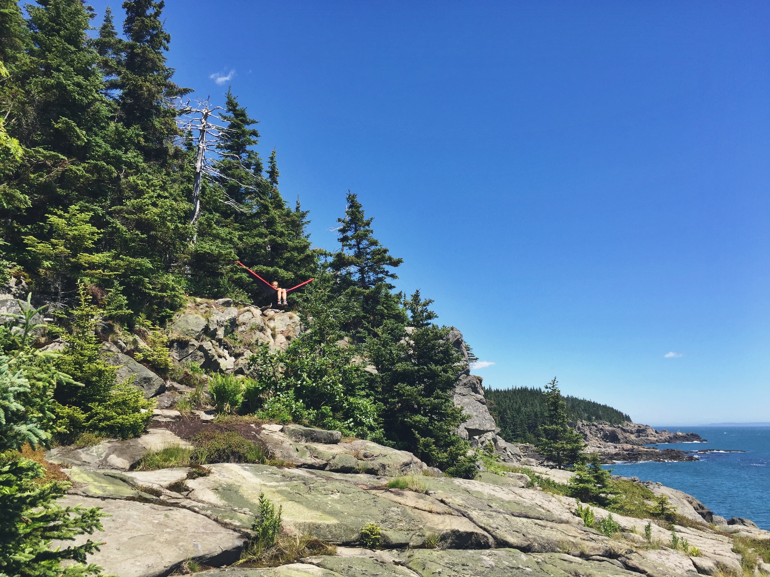
Our early start paid off and we were able to nab a choice site along Fairy Head. We dropped our bags and set up camp. By the time we were done, the clouds that had encompassed us all morning had dispersed. The sun shone brightly and the true colors of the coast beamed vibrantly. We spent the rest of the afternoon basking in the sun, exploring tidal pools hidden within the endless masses of stone, and soaking up the views from our cliff side hammock setup. Once the evening was upon us, we setup a kitchen on a level ocean-side slab and lit up our stoves. As the waves harassed the rocks beneath us, we boiled water for our dehydrated meals and discussed plans for the following day.
The next morning we awoke to a bluebird sky. Breakfast was spent ocean side in similar fashion to dinner. We made the decision to head in a reverse direction so we could explore a cove that was noted the day before. It looked like a desirable spot to swim and explore. When we arrived, we laid out to soak up the sun’s rays before taking a dip in the chilly Bay of Fundy. We had the whole place to ourselves, cementing the rationality that smaller and further away was indeed best.
We returned to camp for lunch, and afterwards we reluctantly tore down camp and headed out. We had packed limited water and needed to keep moving. If you plan a multiday trip, make sure that you bring plenty of water. Some water sources are available, but are not plentiful or exceptional.
↑ Hammock Game Strong ↑
Once you experience the beauty of the Coastal Trail, you may be disinclined to take the Inland Trail back to the trailhead. We were encouraged by the thought of the unknown and were very happy with our decision not to double back. The Inland Trail was just as spectacular in its own varying way; don’t miss it.
We were sad to reach the parking lot at the end of the trail but wholly satisfied. After encountering the magnificent beauty of the Cutler Coast for a mere 48 hours, our hearts were filled, souls charged, and minds blown. While it is always difficult for a writer to expose such gems, this location is a pure embodiment of Maine that should be witnessed and cherished by all.
Although we had wrapped up our visit to the Cutler Coast, our trip was not over yet. We headed up the road to the town of Lubec, Maine where Quoddy Head State Park resides - the easternmost point of the United States. Here we found more spectacular ocean scenery, a fantastic cliffside hike, and a picturesque view of Canada's Grand Manan Island, seen in the background above.
From the impressive, and dramatic cliffs, we spotted seals playing in the waves below. The views and access to these massive cliff walls rivaled what we had discovered at the Cutler Coast - not to be missed!
After exploring the state park's trail system, we headed into downtown Lubec. Here we discovered a local favorite, the Lubec Brewing Company. Craft beers, live music and delicious sourdough pizza was enjoyed in celebration of a terrific and unforgettable trip.


