Chasing 48: Willey, Field, & Tom
We both had Saturday free, so we decided to drive up to White Mountain National Forest and bag some peaks. If you aren't familiar with the White Mountains, you should definitely check them out; the area offers the best mountain recreation in all of New England and some of the most beautiful scenery as well. This time of year the forests explode with color and we were lucky to catch it at its fall best.
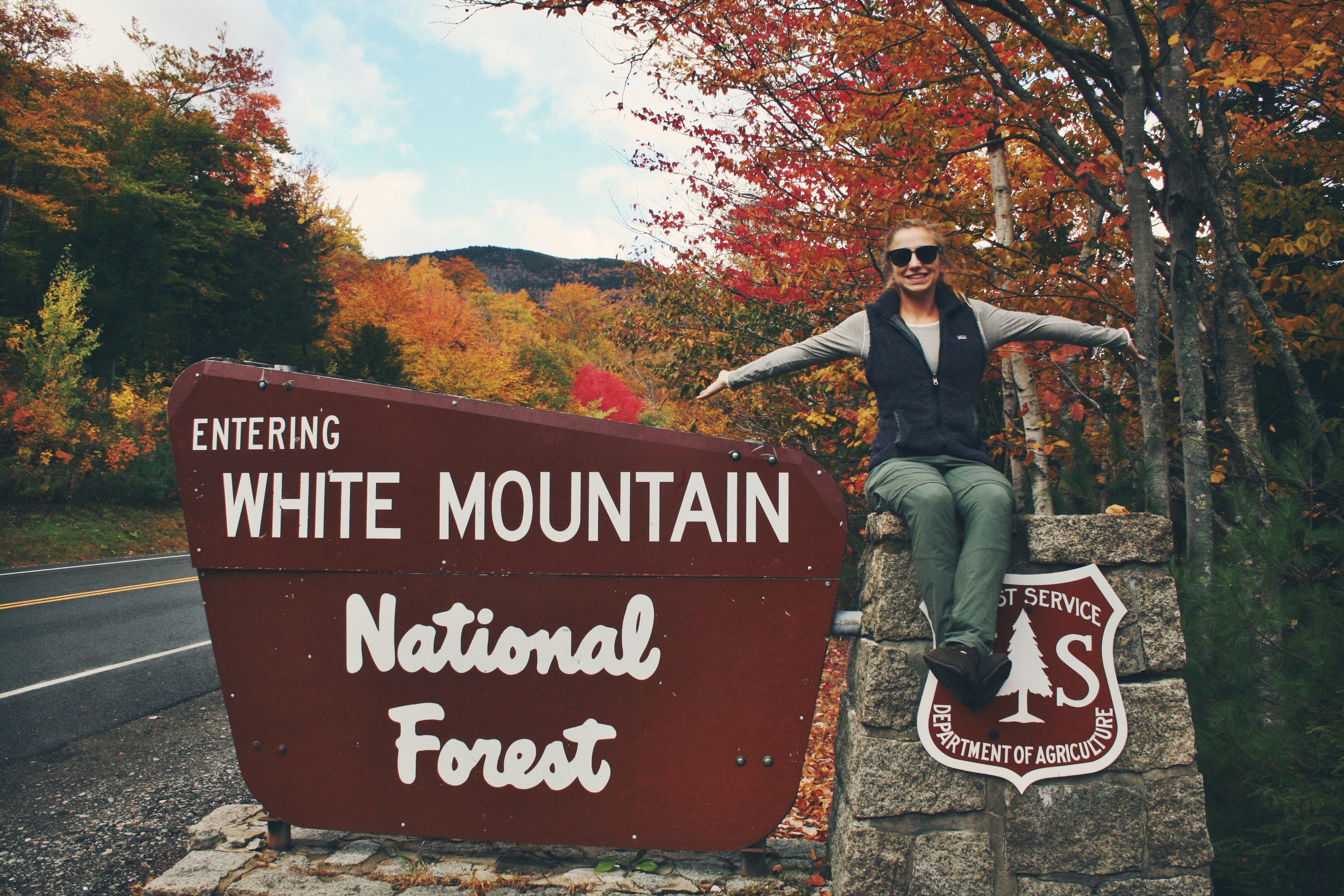
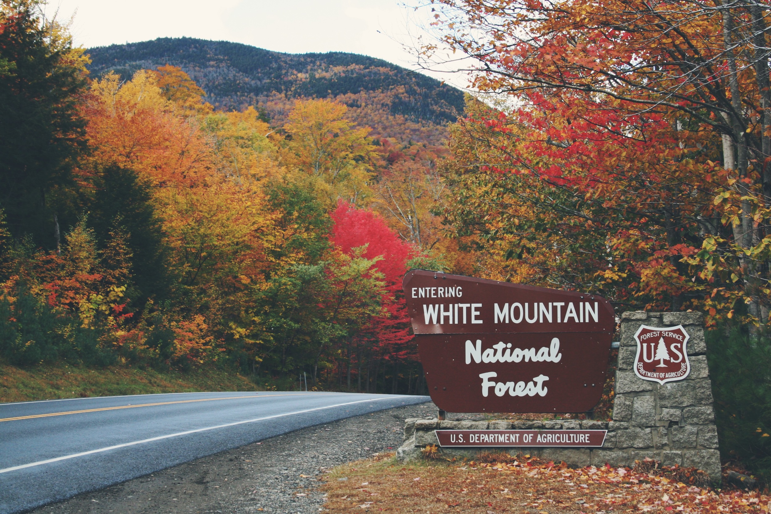
White Mountain National Forest is home to the 4,000-Footers, 48 peaks that rise above 4,000 ft. While 4,000 ft. might not seem like much in terms of altitude, many of the peaks in the Whites feature peak reliefs similar and in some cases more aggressive than those found in the Rockies (example Mt. Washington). It is a rewarding and sought after challenge tackling all 48 summits, and this winter we intend to accomplish that goal. Having already climbed 23 of the 48 (most of which we traversed on the AT) we were using this as an opportunity to knock off three more. We set our eyes on a small cluster of peaks on the north side of Crawford Notch State Park, Mt. Willey (4,285ft.), Mt. Field (4,340ft.), and Mt. Tom (4,051ft.). When peak bagging, it is always beneficial to search for opportunities to create a loop hike where redundant backtracking is not necessary especially when only one vehicle is involved. Willey, Field, and Tom are situated in an almost perfect line with a 2.9 mile section of road separating the the two trailheads.
Trail data provided by CalTopo: click links below to view
302 Bike Route - Kedron Flume Trail - Ethan Pond Trail (A.T.) - Willey Range Trail - A-Z Trail - Mt. Tom Spur Trail - Avalon Trail
This meant in order to create a loop we would either need to walk the 2.9 miles on the road, hitch hike (which can be done quite safely in the Whites) or bring the bikes! We chose bikes and we were super happy with this decision. Not only did this add a bit of variety in our weekend adventure and exercise but it also was a blast! If you park your car at the AMC Highland Center or Crawford Depot and ride your bikes south towards the Willey House you can expect an effort-free downhill ride. The entire haul took us a total of 5 minutes and would have taken a lot less had we not had spitting rain which required us to be a bit more cautious. Whipping through the mountains on our bikes down the decent grade was amazing! The 360° views from the road were gorgeous and painted with fall colors. Note: unless you are in search of a killer uphill ride head south on U.S. Route 302.


Once we arrived at the Willey House, we locked up the bikes and headed up the Kedron Flume Trail towards the Willey Range Trail. The Kedron Flume Trail is the quickest and steepest way up. The trail starts off fairly gradual, but once you hit the railroad tracks be prepared for a lengthy uphill haul.
After the Kedron Flume, we ran into the Appalachian Trail via the Ethan Pond Trail for .3 miles.
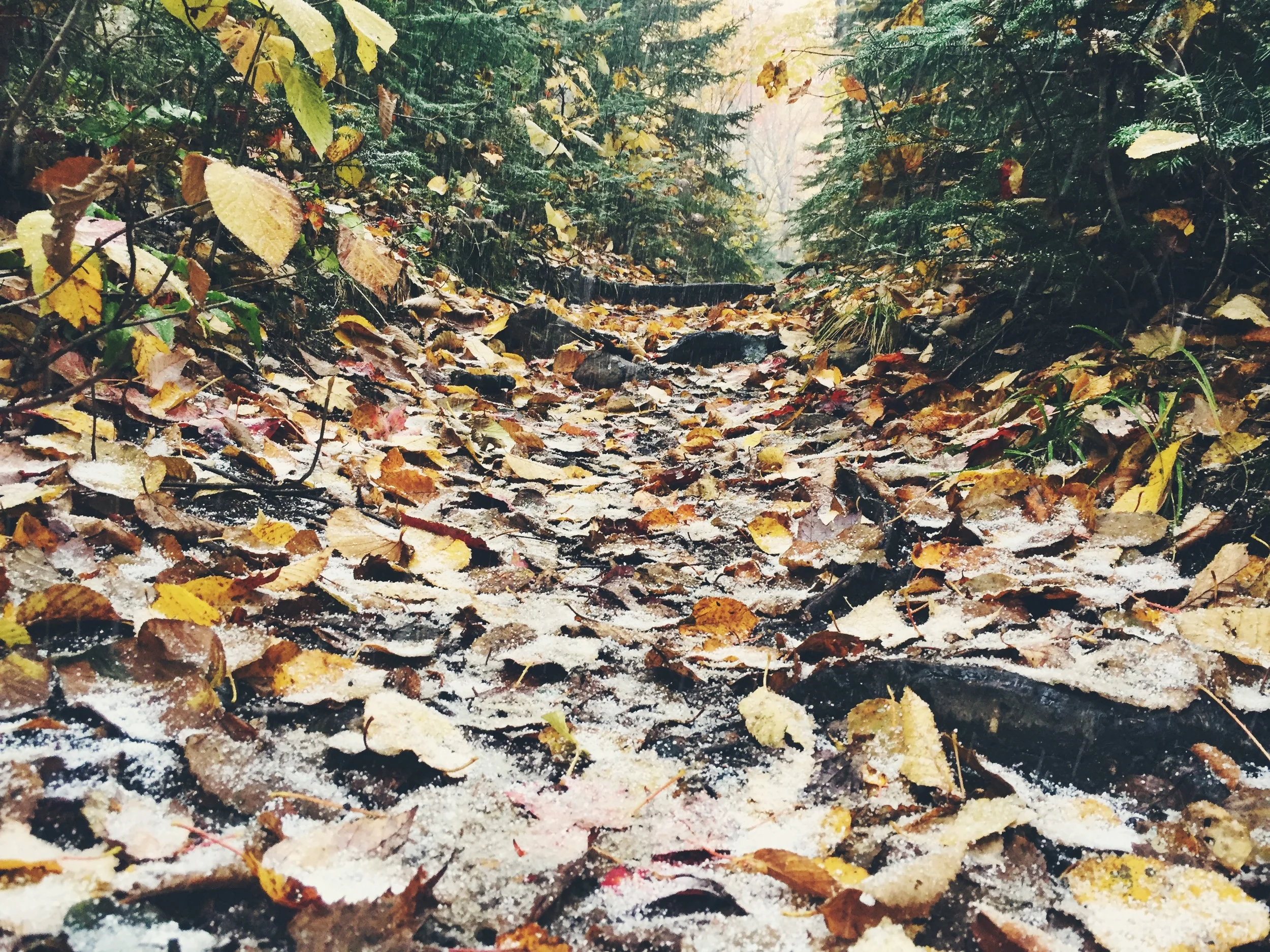
The forecast had called for clear weather but we got just the opposite. From the moment we hit the bikes, we had continual rain of varying intensity. Most of it was light enough that we could hike comfortably in our base layers and evaporate it off with our generated heat; never getting too damp. As we hiked higher, the rain quickly turned into frozen rain and eventually full blown snow! The temperature went from a comfortable 43° to hovering tenderly on freezing. Luckily we knew to never trust the weatherman (especially in the Whites) and to pack for any degree of varying weather.


The hike up to Mt. Willey via the Kedron Flume Trail is an exhausting 2.7 mile sprint. Although the hike was a blast, the mountain itself does not offer any spectacular views (outside of one opening in the trees a few yards below), it simply climaxes with a subtle cairn. We paused at the summit to add layers in response to the plummeting mercury and to refuel on water and snacks. In expected fashion, the moochers of the forest, a pair of Grey Jays, arrived to see what they could nab.


After Mt. Willey, we headed north towards Mt. Field, the tallest of the three peaks. The 1.4 mile trek between the two summits offer no real obstacles, just a slight dip followed by a steady incline to the top. The summit of Mt. Field, in similar fashion, was topped off by a single cairn in a clear open landing (there were potential views from Mt. Field, the blowing snow made it impossible for us to see or tell).
After summiting Mt. Field, we continued .9 miles on the Willey Range Trail to the Mt. Tom Spur Trail, a .6 mile spur trail that brings you to the top of Mt. Tom (this was the only time where backtracking was necessary).
The now anticipated cairn topper greeted us at the summit of Mt. Tom, we took a picture and then hiked the .6 miles back to the Willey Range Trail via the Mt. Tom Spur Trail. Once at the trail junction, we headed east on the A-Z Trail towards the Crawford Depot where our car was parked. The 2.4 mile return hike was steady with varying levels of decline and a fair share of rocky and root-ridden obstacles (made more tedious by the wet and icy conditions). We kept our eyes peeled for moose after finding many antler rubbings along the trail.
We arrived at our car at 4 PM; the 8.6 mile hike at a casual pace took us five hours to complete. We drove down to the Willey House, picked up our stashed bikes and headed into Bartlett, NH for some food.